Locations sent from family members' devices are reflected on the map in near real-time. Open the app and you can see where everyone is immediately — no more sending repeated "are you there yet?" messages.
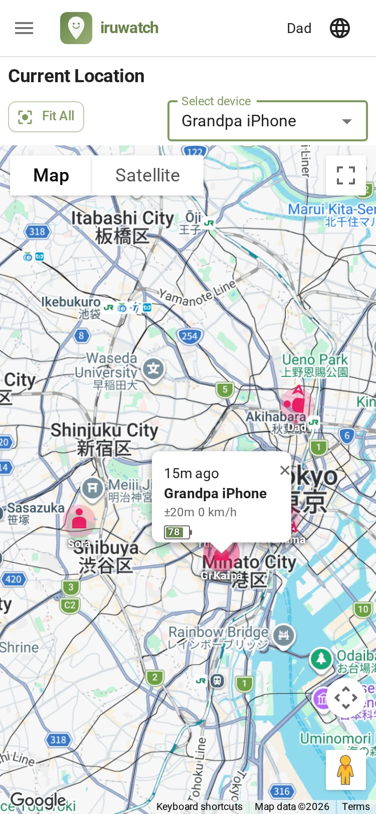
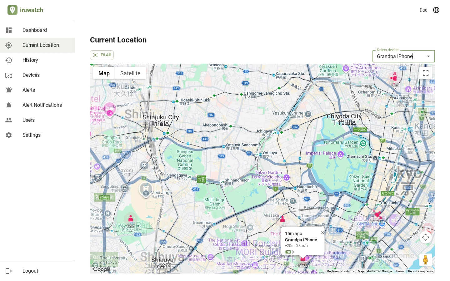
Tap "Show map" to switch to Google Maps inside the app and see everyone's location as markers at once. Tap a marker to view more detailed information. What's capped is the number of map loads (initial displays): there's a limit on both the rolling 30-day total and per day, and you can raise it depending on your plan. Once loaded, panning and zooming within the validity period don't consume additional loads.
The current location page opens first as a lightweight list that doesn't load Google Maps. Each device's last-seen time, accuracy, speed, and battery level are gathered in one place, so you can grasp the situation at a glance while keeping data usage low. This list view doesn't consume any map loads.
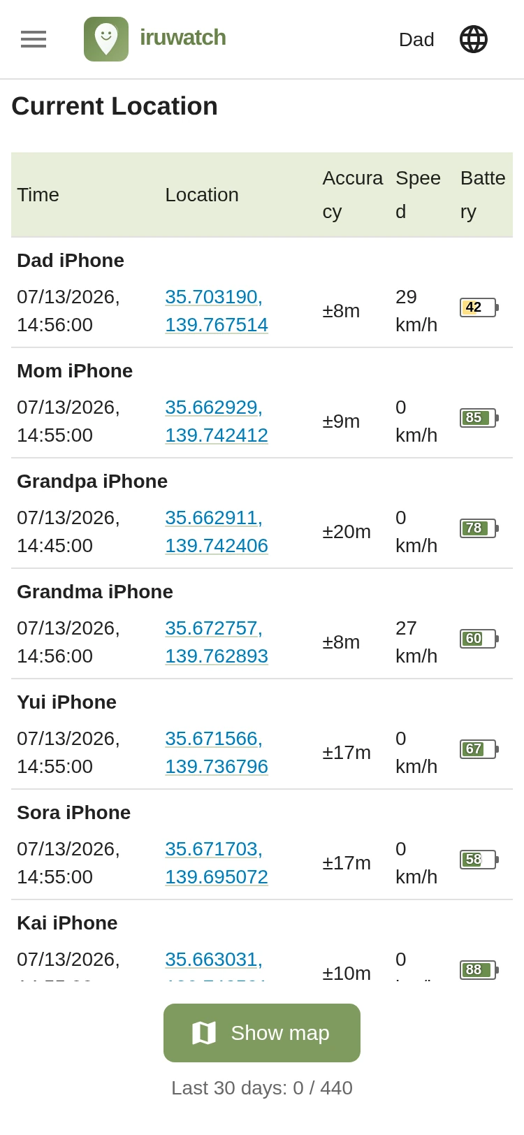
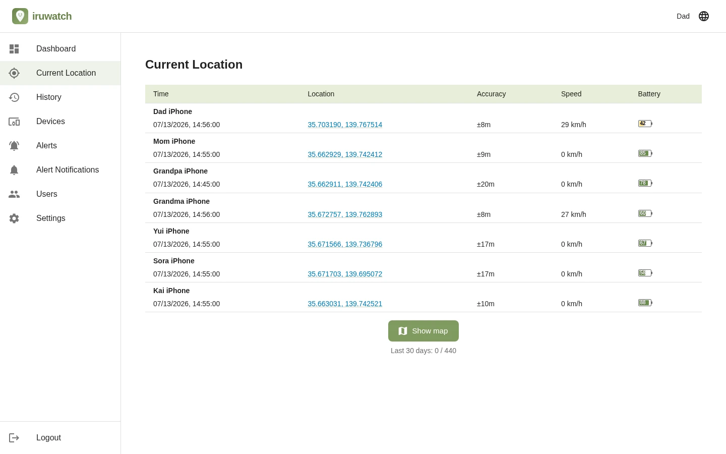
Beyond the location itself, you can see each device's current state at a glance. Last-seen time, whether it's moving or stationary, and battery level are all gathered together — and you can check them in both list view and map view.
You can check the same location data in either the map-free list view or the map view. Here's where to find each item in each view.
| Item | List view (no map) | Map view |
|---|---|---|
| How location is shown | Opens Google Maps (web / browser) on tap | Shown as a marker on the map |
| Map display limit | No limit | Map loads capped by a rolling 30-day total and a daily limit (increases with plan) |
| Direction & movement trail | — | Shown on the marker on the map |
| Last-seen time | Shown in the list | Tap the marker to view |
| Accuracy (±m) | Shown in the list | Tap the marker to view |
| Speed (km/h) | Shown in the list | Tap the marker to view |
| Altitude | — | Tap the marker to view |
| Battery level | Shown in the list | Tap the marker to view |
| Viewing multiple devices at once | ○ (list) | ○ (markers on the map) |